Table of Contents (Drop Down Menu)
Day 1 – Trailhead to Laguna del Salto
Two days after arriving in Puerto Williams we decided to start the Dientes de Navarino trek on January 14th 2018. Clouds and rain in the morning weren’t the most motivating conditions to begin with. Cecilia from Camping El Padrino was providing all trekkers with a free shuttle service to the trail head around 10am. We mounted the rain covers over our prepacked 13kg backpacks and boarded the bus together with other starters.
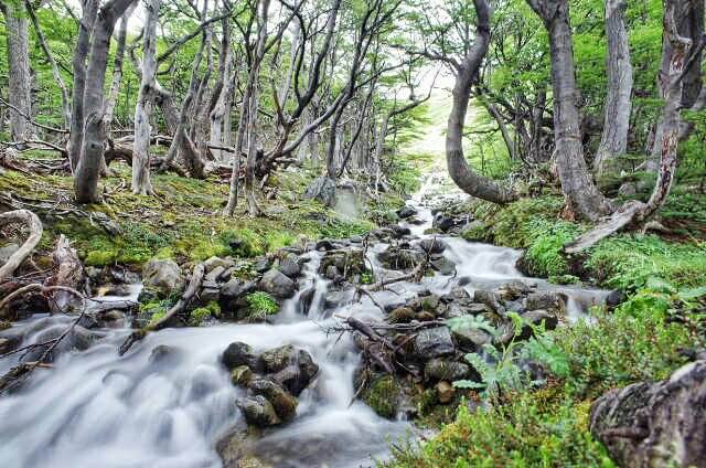
The trek started with a long lasting ascend trough the forest, went over a moos and rocks area above the tree line and descended to Laguna del Salto. A group of downhill mountainbikers passed us on the way up, their tracks were visible up until the second day.
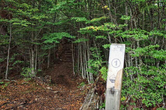
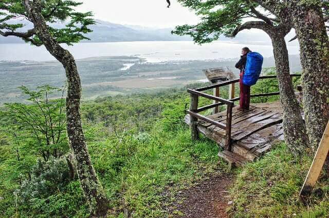
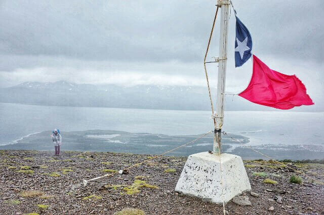
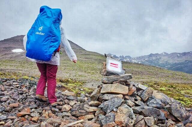
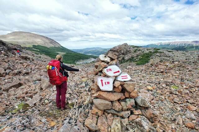
Red and white trail markings along the way made it easy to stay on the suggested route. Supposingly Cecilia’s father, El Padrino has created this trek back in the day.
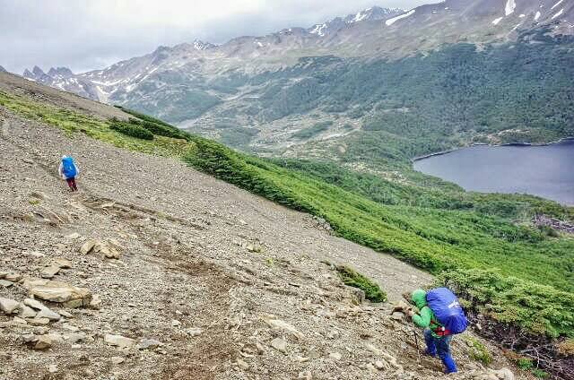
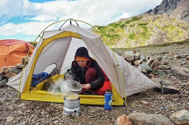
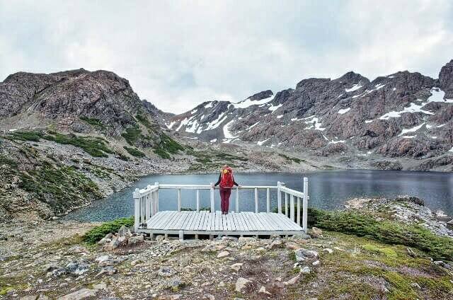
The earth around the first campground by Laguna del Salto was very wet due to nearby water streams. We decided to climb up a little more and pitch the tent on the second, dry campsite just above the Laguna. A nearby stream provided water for cooking our first pasta meal on the trek.
Day 2 – Laguna del Salto to Laguna Escondida
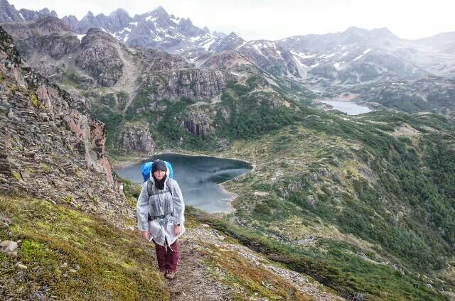
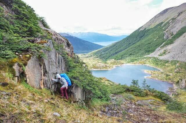
We woke up around 8am after a silent, dry and wind still night. The trek started with a mild ascend towards a small Laguna with a little bit of snow/ice around.
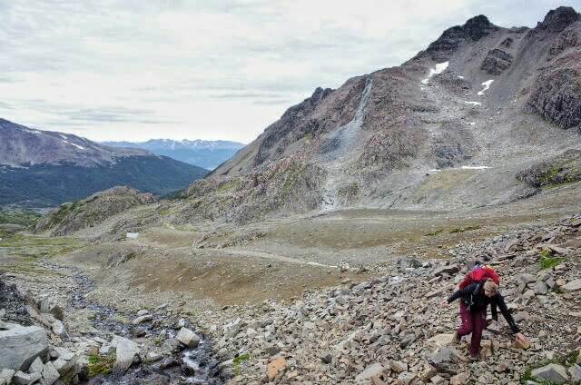
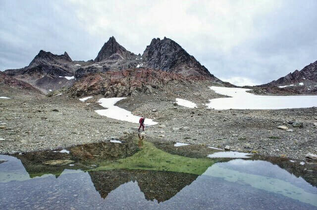
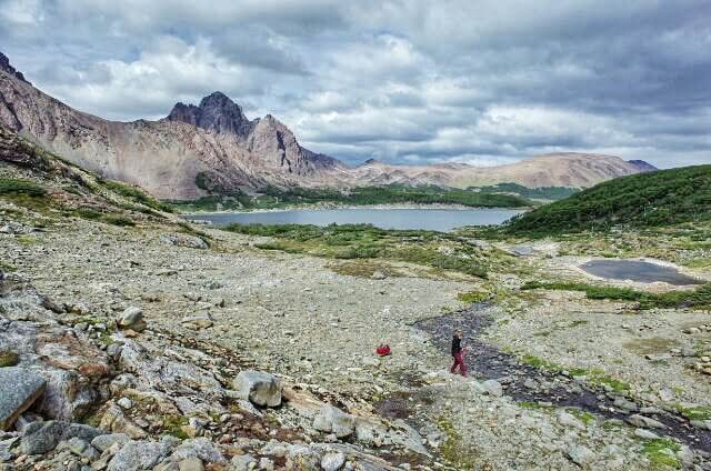
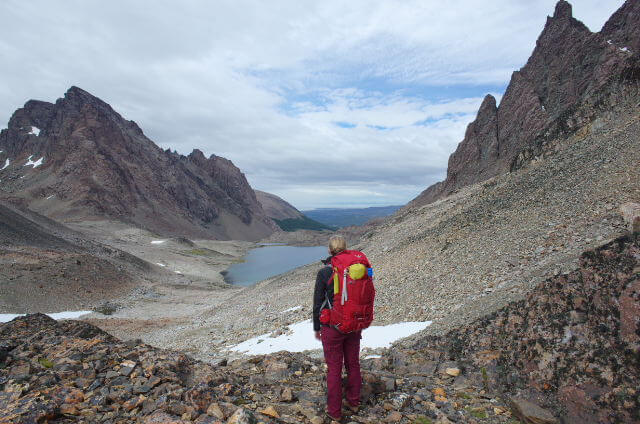
After another moderate acend we reached Paso Austral. The path continued along Laguna del Paso over some snow and sharp mid size rocks towards Paso de Los Dientes and the Laguna del Picacho. There a wide panorama over the Dientes de Navarino became visible so we gave them a remote cleaning with our toothbrubrushes.
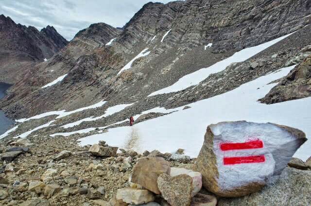
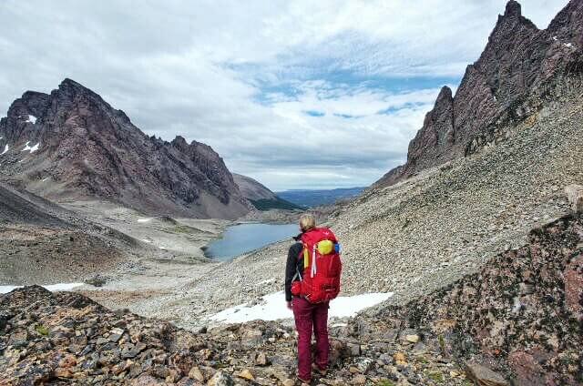
Paso de Los Dientes 360-degree Panorama
#360degree panorama around Paso de Los Dientes #dientesdenavarino #trekking #chile – Spherical Image – RICOH THETA
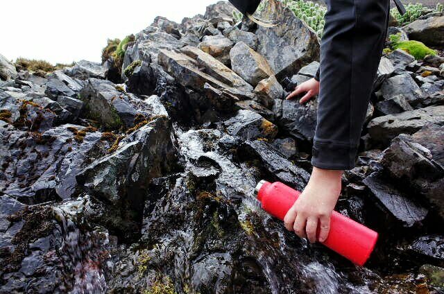
Free, fresh and drinkable water was plenty available. Joanna filled up our water reserve and we descended along the stream until the next trek marker. We enjoyed the wide and ocean reaching panorama views and discussed whether we would do a short side hike along the Monte Bettinelli trek.
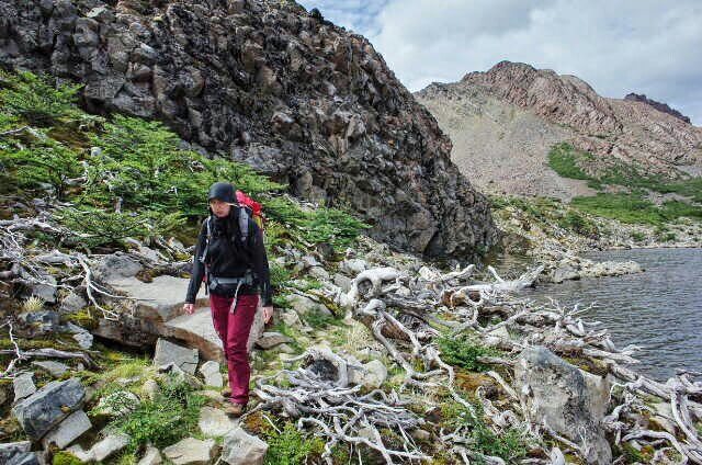
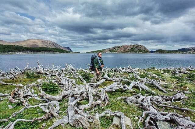
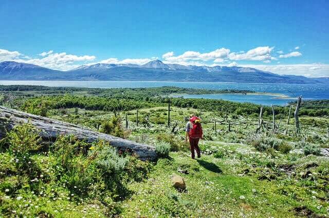
Time was advancing and we sticked to the dientes trek. While following the shore of remote and calm Laguna de los Dientes we were astonished by the huge amount of dead white wood lying around. A pretty unique landscape for sure.
The sun continued to shine powerfully upon our UV unprotected necks and noses. Our hiking morale started to swindle as the last ascend of the day aproached. Only the real sugar can of Cola, wich I hiddiously tranported until here, helped us to reach the next campsite by Laguna Escondida.
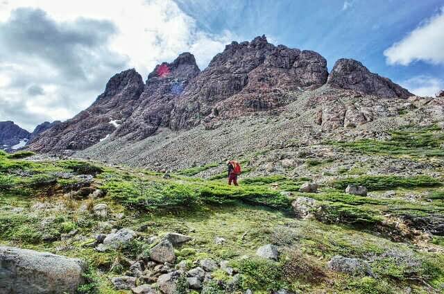
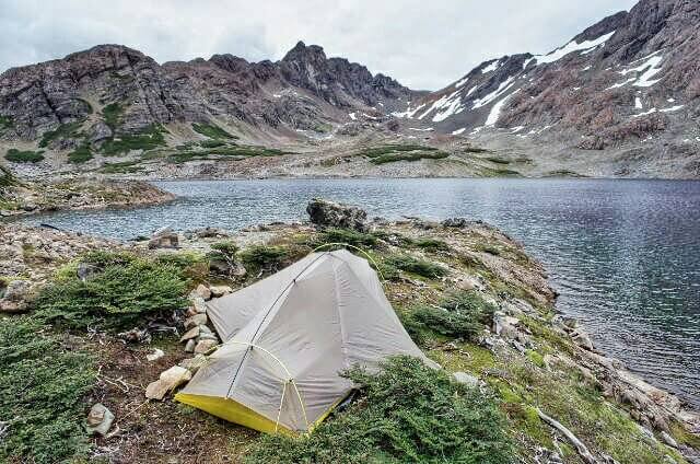
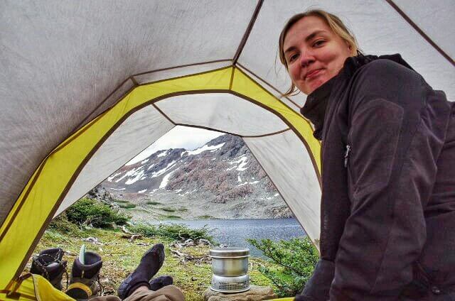
Due to limited availability we pitched the tent on the unshielded peninsula inside the Laguna. Although picturesque it was pretty exposed to the common valley winds. Luckily the weather stayed stable and we relaxed after a long day of hiking.
Day 3 – Laguna Escondida to Laguna Martillo
Just after leaving our campsite by Laguna Escondida we discovered much more wind protected tent spots further down the path. Day 3 started cloudy and by the time we ascended on top of Ventarron Pass we had to wear all of our rain and wind protection clothing. For a short period we experienced FaceTime with ice rain.
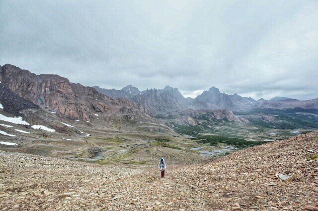
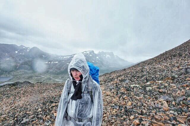
Leaving the stony Ventarron Pass behind the trail descended into wet and hilly grass and bushes land. Fortunately the rain got softener but now our socks started to get increasingly wet due to muddy passages. Forget that promised GoreTex protection, bring a extra pair of dry socks or better, get used to it.
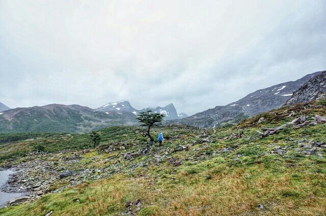
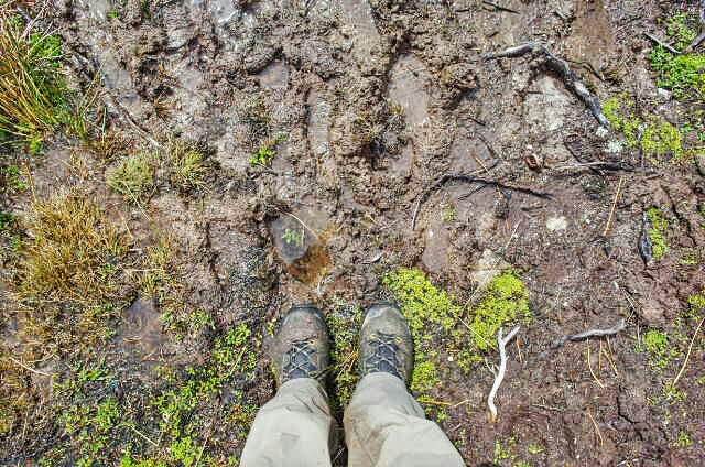
We bypassed the first suggested campsite by the beginning of Laguna Martillo because the ground was much too wet as well. Instead we pitched the tent in a wind protected space on the hill near the second campsite. It had panoramic views down the valley, we slept quite comfortable there.
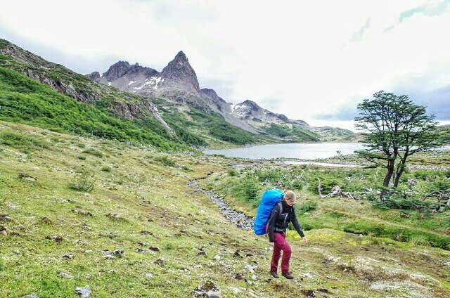
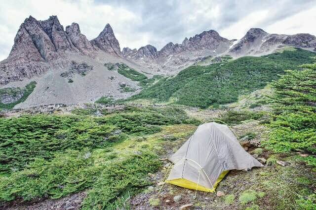
Day 4 – Laguna Martillo to Laguna de los Guanacos
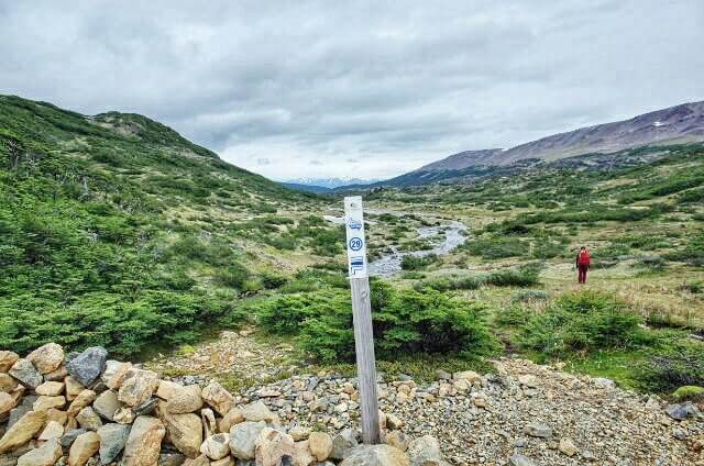
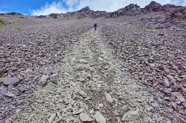
Day four was easily the most demanding of all five Dientes de Navarino trekking days. We experienced a lot of muddy passages, steep and long ascends and a vertigo like descent after Paso de Virginia. The initial red and white trail marks got less and less visible from day three on. However people, and you should too! make stone piles to mark the trail for whoever comes after. Ocassional numbered wooden piles appear (38 in total) and confirm the right trail as well.
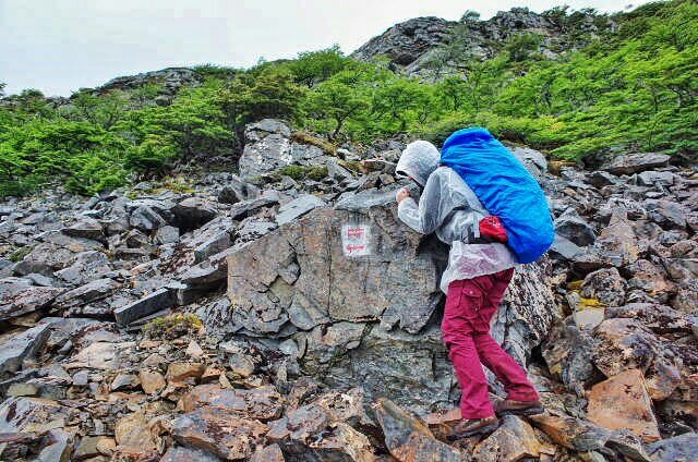
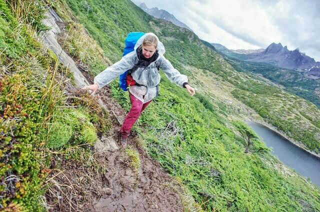
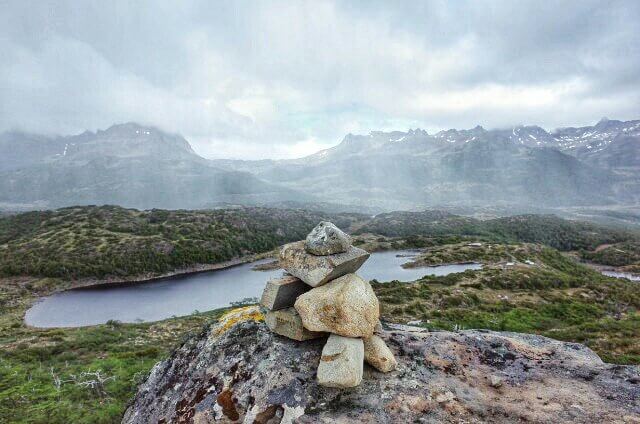
#360degree #trekking group #selfie on the #dientesdenavarino trek #chile – Spherical Image – RICOH THETA
After climbing the first wet part though the muddy bushy woods we continued the stony way up towards Paso Virginia. A deep and narrow path was the only way down from there. Stories tell that people had to return all the way back because of snow blocking their way down. We descended successfully after Joanna overcame a short vertigo panic attac.
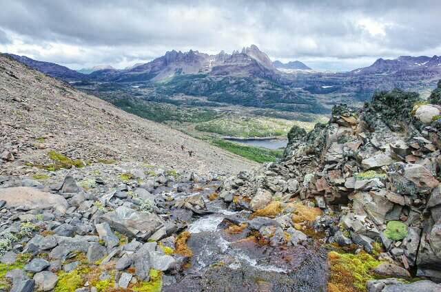
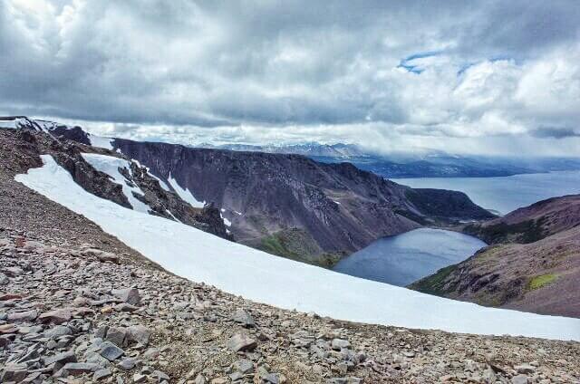
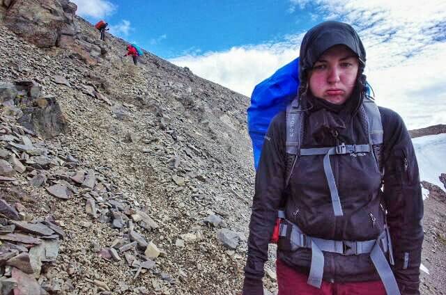
The first suggested campsite by the end of Laguna de los Guanacos was way too windy so we descended down further along the stream to the second one. It turned out to be a good windstill place, just the upcoming fog made the night a bit colder and wet then necessary.
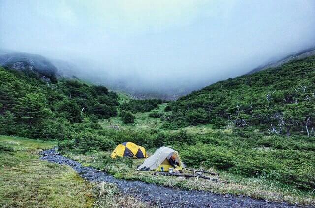
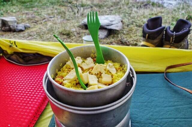
Packed for a #goodnight in #mountainhardware #sleepingbags under #sierradesign #tent on the #dientesdenavarino trek #chile – Spherical Image – RICOH THETA
Day 5 – Laguna de los Guanacos to Puerto Williams
Sunshine and a steady descend trough woods towards an alm like plateu on wich horses grass made this last day much more comfortable.
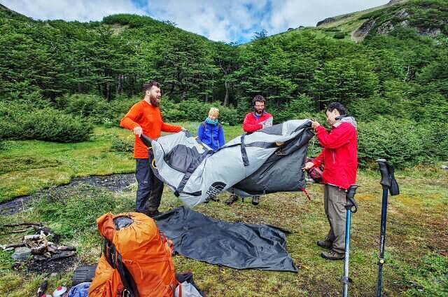
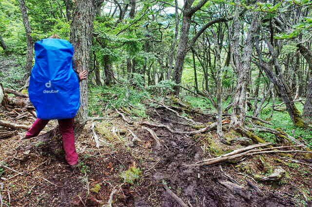
Dientes de Navarino Summary
This was our first multi-day trekking experience and we liked it very much. The trek is physically demanding but offers a lot of solitude and variations in landscapes in return. Wildlife was limited to bees, birds, and beavers. Southern Patagonia weather is unpredictable for five days so you need to prepare for all kinds. What you don’t really need are hiking poles. We both are average fit people and did it without.
Nice reading! I am interested i doing the trek, but I would probably have to go alone. I have basic navigation skills with map and compass. Do you think the trail is marked well enough or is it easy to get lost?
Thanks for asking Lell. The trail is marked occasionally. I recommend bringing a GPS navigation device or a smartphone with a offline map app. The trail on maps.me app is sufficient to keep you on track. If you want more precision and even record your progress then take wikiloc or a similar dedicated offline navigation app. Wikiloc maps offer much more terrain details. Depending on the time of year you can meet other hikers on the campgrounds at the end of the day. Good luck it’s a wonderful trail!
Great reading about your Dientes de Navarino trek, and some stunning photos too. I am planning a solo trip in early January 2020. Is the ascent to Paso Virginia from the southern side as bad as many reports suggest…knee-deep mud in places, and very steep? You also mentioned that trekking poles are not required. Is this a personal preference or are they simply not useful in the terrain of the trek?
Many thanks!
Hi Robin, the ascent was short but steep. Grabbing twigs and branches helped us up. The way before the ascent was kind of muddy but not knee deep. After talking to other hikers who came back from the trail we decided to go without poles, it was personal preference. I think it will be best for you to ask about the condition once you are there and decide what to bring along. I am pretty sure that you can rent poles at the EL Padrino Camping. Contact Cecilia to find out more. Safe travels!